How to add?
baltisuvi.ee
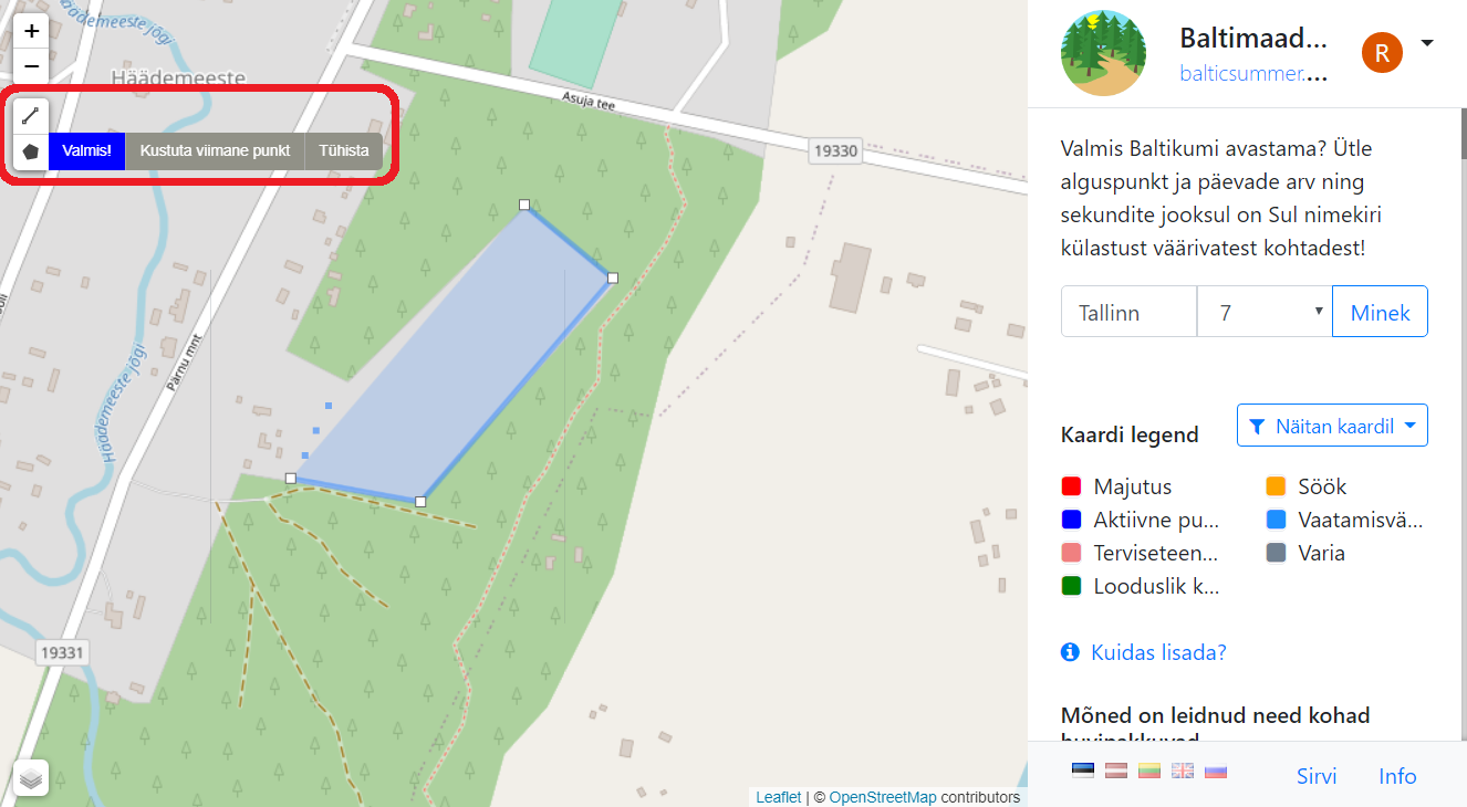
- Select drawing tool. Line for trails, polygon for everything else;
- Draw location
- Click blue finish button

You are asked for email to register or login.
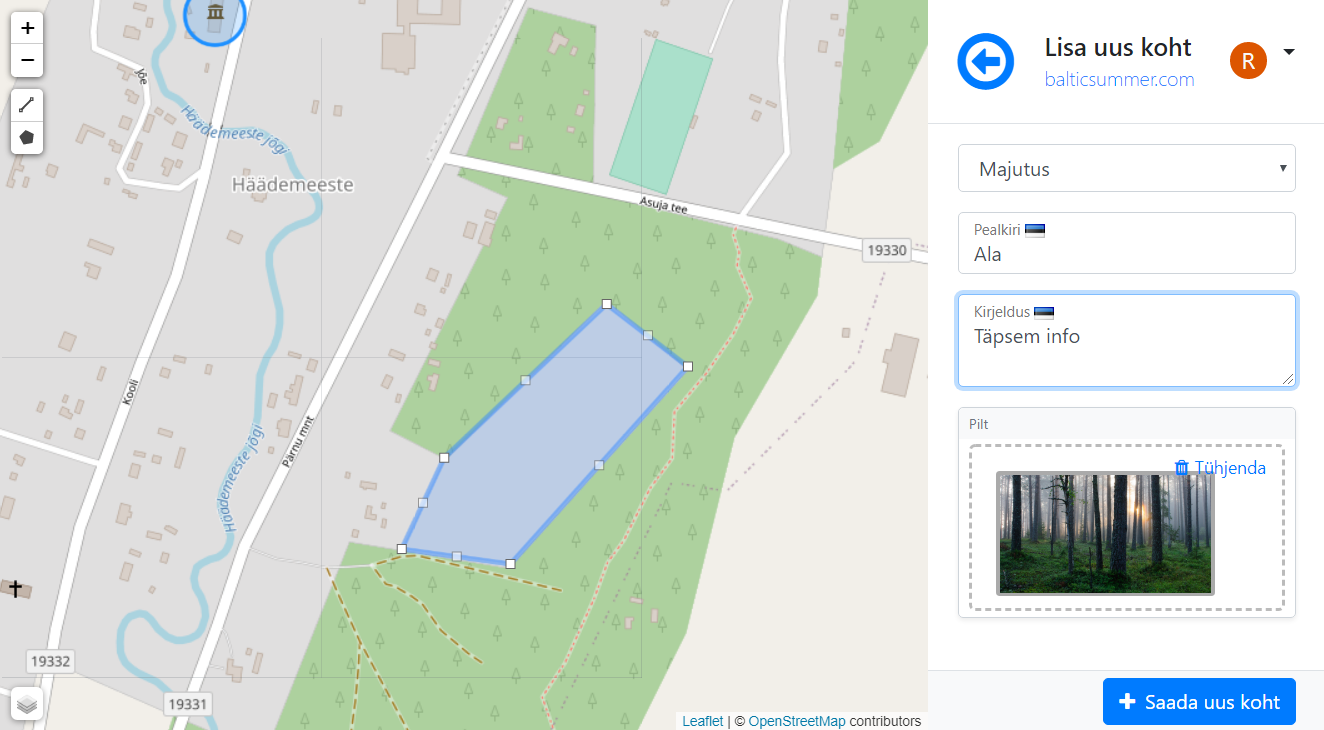
- Fill up data (title, description, photo)
- Click save button

Your location is now visible on map. Anybody who opens it, can vote if it should be added permanently or deleted.